Mar 9, 2017 | 5-10 Miles, Conwy
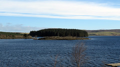
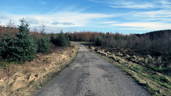
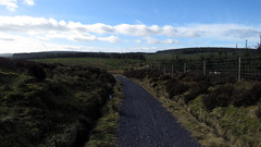
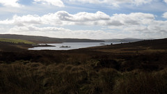
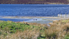
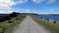
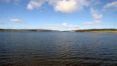
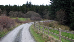
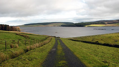
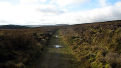
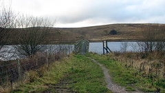
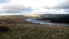
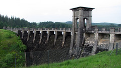
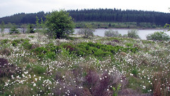
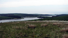
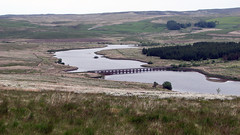
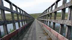
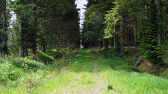
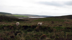
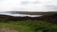
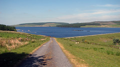
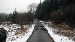
Llyn Brenig Reservoir walked in the opposite direction to normal, we finished at the dam wall instead of starting that way. A great walk at just under 10 miles, very easy going on good tracks and paths. Stunning countryside views and views across the reservoir. We do this often but posting it again as previous posts were recorded on MyTracks with KML file, this time done with a Garmin so GPX file available.
Park and start the Walk at the pay car park by the visitors centre: 53.08015, -3.54359
Total distance: 9.48 Miles
Total time: 4.22 hrs
Moving time: 3.22 hrs
Average speed: 2.2 mi/h
Minimum Elevation: 1150 feet
Maximum Elevation: 1478 feet
Download GPX
Dec 9, 2013 | Conwy, Over 10 Miles, Walks
North Wales
Grid Ref: SH 955 530
Total distance: 17.43 km (10.8 mi)
Total time: 4:25:34
Moving time: 3:54:21
Average speed: 3.94 km/h (2.4 mi/h)
Average moving speed: 4.46 km/h (2.8 mi/h)
Max elevation: 502 m (1647 ft)
Min elevation: 407 m (1336 ft)
Elevation gain: 464 m (1523 ft)
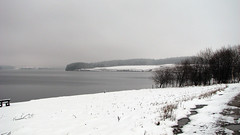
Weather: Dull and windy.
Download KML
View Brenig Alwen anti clockwise in a larger map
Jun 19, 2013 | Conwy, Over 10 Miles, Walks
North Wales
Grid Ref: SH 955 530
Total distance: 23.37 km (14.5 mi)
Total time: 6:54:12
Moving time: 6:43:38
Average speed: 3.38 km/h (2.1 mi/h)
Average moving speed: 3.47 km/h (2.2 mi/h)
Max elevation: 510 m (1674 ft)
Min elevation: 407 m (1335 ft)
Elevation gain: 556 m (1826 ft)
Weather: overcast and mild for first half, then sunny and hot
Download KML
View Alwen & Brenig Full 19/06/2013 09:51 in a larger map
May 8, 2013 | Conwy, Over 10 Miles, Walks
North Wales
Grid Ref: SH 955 530
Total distance: 16.97 km (10.5 mi)
Total time: 4:34:54
Moving time: 4:19:40
Average speed: 3.70 km/h (2.3 mi/h)
Average moving speed: 3.92 km/h (2.4 mi/h)
Max elevation: 499 m (1636 ft)
Min elevation: 408 m (1339 ft)
Elevation gain: 482 m (1580 ft)
Weather: overcast, poor visibility, followed by heavy rain for last 5 miles. No Photos!
Download KML
View Alwen & Brenig short in a larger map
Mar 20, 2013 | 5-10 Miles, Conwy, Walks
North Wales
Grid Ref: SH 966 545
Total distance: 15.67 km (9.7 mi)
Total time: 4:08:49
Moving time: 3:42:42
Average speed: 3.78 km/h (2.3 mi/h)
Average moving speed: 4.22 km/h (2.6 mi/h)
Max elevation: 506 m (1659 ft)
Min elevation: 430 m (1411 ft)
Elevation gain: 374 m (1228 ft)
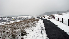
Weather: overcast, cold, damp, poor visibility
Download KML

