Llanfihangel GM to Caer Caradog V2
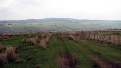
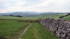
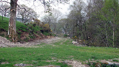
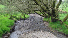
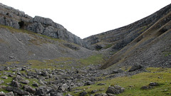
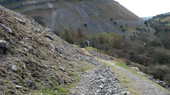
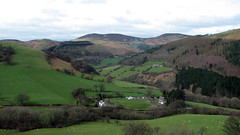
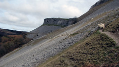
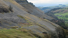
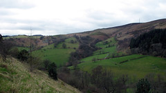
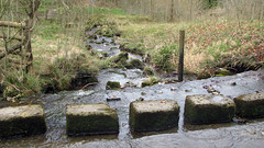
A really nice walk, with rivers, springs, moorland and the historic hill-fort overlooking Cerrigydrudion, stunning views of the A5 roman road and Snowdonia from the hill-fort, and idyllic countryside. This is version 2 of the walk, as the original version had 3 barbed wire fences across a OS public footpath, this route avoids that area. (original route Llanfihangel GM to Caer Caradog)
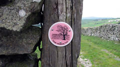
Starting at the Crown Inn Llanfihangel G.M. walk up the hill and take the first lane on the left, follow the lane and take the next lane on the right, this is a short lane that ends at a wooden footbridge taking you onto fields. This section of the walk has signs saying ‘Hiraethog Way’, keep walking up hill eventually leaving the Hiraethog Way at a gate. Up an old track, and then back onto a lane, turn left and as you walk along you will see the hill-fort on your right, leave the lane at a style/gate and walk up to the hill-fort. Leave the hill-fort on its rear left side taking the track down, you rejoin the Cerrigydrudion to Llanfihangel road and walk a section of it, before turning left and following the track eventually rejoining the Crown Inn lane by the old disused Llanfihangel school, turn right, cross the road and walk along the river bank back to the car park.
Grid Ref: SH 991 492
Total distance: 9.95 km (6.2 mi)
Total time: 3:10:44
Moving time: 2:42:04
Average speed: 3.13 km/h (1.9 mi/h)
Average moving speed: 3.68 km/h (2.3 mi/h)
Max elevation: 457 m (1501 ft)
Min elevation: 290 m (950 ft)
Elevation gain: 363 m (1190 ft)
Weather: Dry, mild, some sun
View Llan Caer Caradog in a larger map
