Apr 15, 2016 | 5-10 Miles, Gwynedd
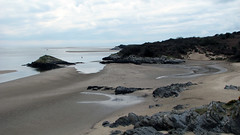
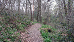
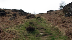
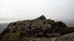
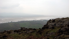
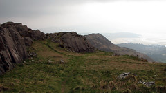
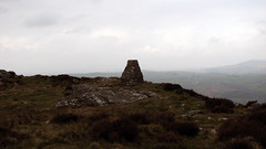
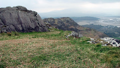
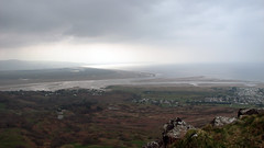
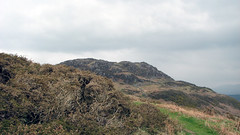
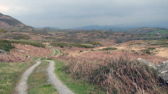
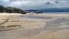
A nice 6.8 mile walk with multiple terrains, and stunning vistas. Starting at the car park at Borth Y Gest (near Porthmadog), then following well defined paths, you travel through woodland, lanes and tracks. Then ascend Moel Y gest, there are 2 peaks here, the furthest having the trig point and also being marked as a Hill Fort on the OS map, both affording stunning views of Snowdonia, the estuary, and the coast, Cricceth Castle is visible to the North. From the peak you travel down until you eventually find yourself on a section of the Wales coastal path, then onto a beach, before the final leg back to the car park. This was a really great walk for views, the ascent of Moel y Gest is steep but well worth it for the 360 views. It was quite overcast for us so the photographs are not so impressive – a walk for a good day owing to the great views.
Grid Ref: N 52.915875 W 4.136570 (where we parked)
Total distance: 6.45 Miles
Total time: 4.48 hrs
Moving time: 4.00 hrs
Average speed: 1.34 mi/h
Max elevation: 1044 ft
Min elevation: 10 ft
Download GPX
Apr 6, 2016 | 5-10 Miles, Gwynedd
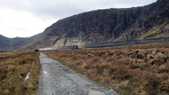
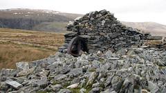
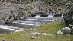
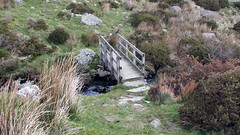
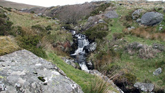
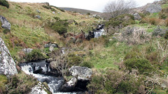
Melynllyn & Dulyn Reservoirs on the eastern side of the Carneddau mountains in Snowdonia. Upon parking we spotted a huge dam wall in the distance with breaks in, so added that at the start, we had to see it. It turns out after researching the dam: “on 2 November 1925, following 26 inches (660 mm) of rain in just five days, the dam broke. The water flowed down to Coedty Reservoir, also causing that to burst, and millions of gallons of water flowed down into the village of Dolgarrog, causing the loss of 17 lives” from: https://en.wikipedia.org/wiki/Llyn_Eigiau
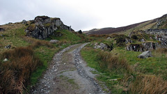
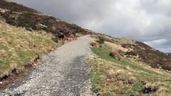
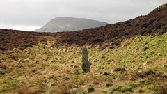
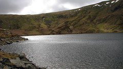
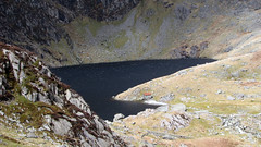
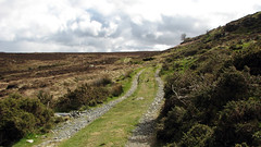
Upon returning to the car park we commenced our walk to the Melynllyn & Dulyn Reservoirs. The walk is uphill most of the way to the Melynllyn Reservoir (wiki info: https://en.wikipedia.org/wiki/Llyn_Melynllyn) on well defined paths, unfortunate for us we chose a day with 40-50mph winds and occasional hail coming straight at us on this section, making it quite a slog to the reservoir. From the Melynllyn you travel down a rocky path to the Dulyn Reservoir (wiki info: https://en.wikipedia.org/wiki/Llyn_Dulyn). From there you then cross very boggy moorland for the bulk of the journey back, the paths are not well defined on this section, but there are a couple of styles and occasional concrete posts marking the way.
This walk has spectacular views, just wished we had chosen better weather, obviously in this area and at this height the weather can also be very changeable – be prepared and well equipped.
Grid Ref: 53.177726N –3.900219W (where we parked)
Total distance: 8.5 Miles
Total time: 4.36 hrs
Moving time: 4.06 hrs
Average speed: 1.8 mi/h
Max elevation: 2126 ft
Min elevation: 1214 ft
Download GPX

