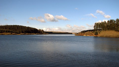
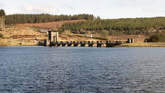
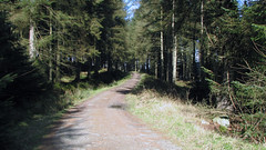
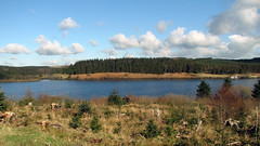
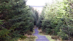
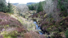
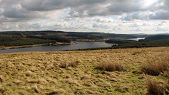
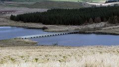
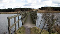
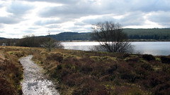
Posted before, but now with an accurate GPX file from a Garmin Etrex30. This is a really nice walk just under 7 miles, great views of the Reservoir, moor land, forests, grass land. Nothing too hard, mainly flat on well defined tracks, one ‘hill’ – good keep fit training walk.
Grid Ref: SH 955 530 – 53.3.841’N 3.33.558’W (where we parked)
Total distance: 6.88 Miles
Total time: 2.56 hrs
Moving time: 2.30 hrs
Average speed: 2.34 mi/h
Max elevation: 1464 ft
Min elevation: 1018 ft

