Mar 19, 2022 | Conwy, Under 5 Miles
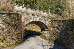
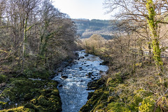
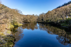
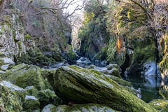
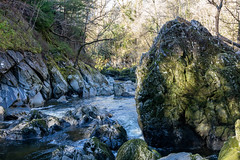
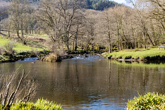
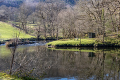
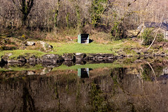
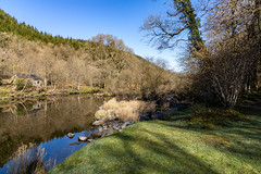
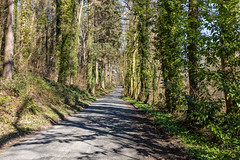
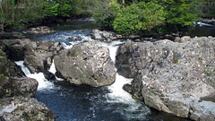
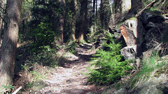
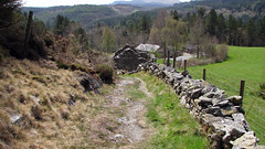
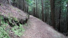
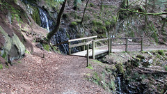
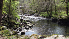
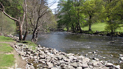
A walk from the middle of Betws Y Coed to the Fairy Glen gorge. Walking along lanes and tracks, taking in great views of the River Conwy and the Fairy Glen gorge and area. Note there is a £1 entrance fee to walk down to the gorge.
Park at any car park in Betws Y Coed
Total distance: 3.5 Miles
Total time: 2 hrs
Moving time: 1.45 hrs
Average speed: 1.75 mi/h
Download GPX
Jul 7, 2021 | 5-10 Miles, Conwy
Llyn Brenig Reservoir walk, no pictures or gpx as the same as posted here.
Jun 30, 2021 | 5-10 Miles, Conwy
The Alwen Reservoir, no pictures or gpx as the same as previously posted here
Mar 9, 2017 | 5-10 Miles, Conwy
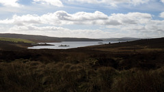
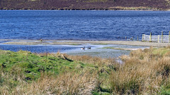
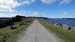
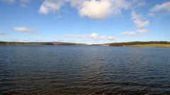
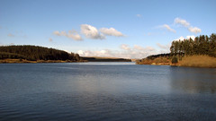
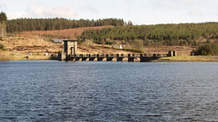
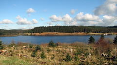
Llyn Brenig Reservoir walked in the opposite direction to normal, we finished at the dam wall instead of starting that way. A great walk at just under 10 miles, very easy going on good tracks and paths. Stunning countryside views and views across the reservoir. We do this often but posting it again as previous posts were recorded on MyTracks with KML file, this time done with a Garmin so GPX file available.
Park and start the Walk at the pay car park by the visitors centre: 53.08015, -3.54359
Total distance: 9.48 Miles
Total time: 4.22 hrs
Moving time: 3.22 hrs
Average speed: 2.2 mi/h
Minimum Elevation: 1150 feet
Maximum Elevation: 1478 feet
Download GPX
May 4, 2016 | 5-10 Miles, Conwy
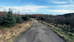
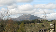
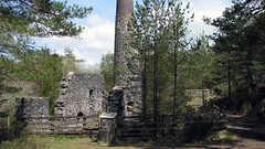
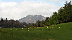
A really nice walk at just over 7 miles. Starting in Betws Y Coed, then walking up though the forest on a fairly steep section, before leveling out. Greats views of Moel Siabod and Snowdonia, at times great 360 panorama vistas. The walk then carries on alongside and in forests before reaching a fascinating old lead mine with chimney still intact. The mine is roughly half way. From there heading back to Betws Y Coed on forest tracks and trails, eventually arriving at the river which you walk along back to the town.
Park and start the Walk anywhere in Betws Y Coed.
Total distance: 7.1 Miles
Total time: 3.51 hrs
Moving time: 3.15 hrs
Average speed: 1.9 mi/h
Max elevation: 928 ft
Min elevation: 75 ft
Download GPX
Feb 28, 2016 | 5-10 Miles, Conwy
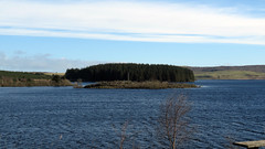
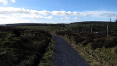
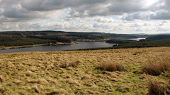
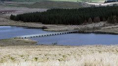
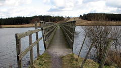
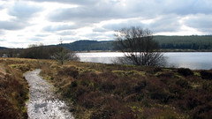
Posted before, but now with an accurate GPX file from a Garmin Etrex30. This is a really nice walk just under 7 miles, great views of the Reservoir, moor land, forests, grass land. Nothing too hard, mainly flat on well defined tracks, one ‘hill’ – good keep fit training walk.
Grid Ref: SH 955 530 – 53.3.841’N 3.33.558’W (where we parked)
Total distance: 6.88 Miles
Total time: 2.56 hrs
Moving time: 2.30 hrs
Average speed: 2.34 mi/h
Max elevation: 1464 ft
Min elevation: 1018 ft
Download GPX
