Feb 25, 2022 | 5-10 Miles, Walks, Wrexham
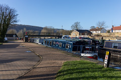
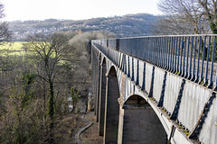
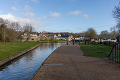
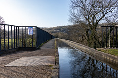
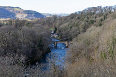
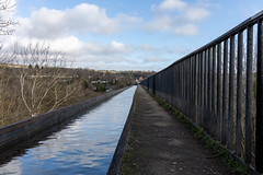
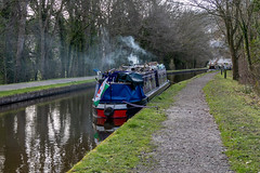
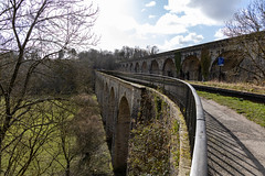
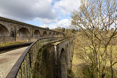
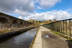
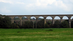
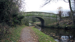
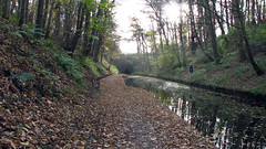
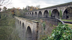
A canal path walk from Pontcysyllte aqueduct to Chirk aqueduct and viaduct and return. A stunning walk, with great peaceful scenery along the Shropshire Union canal. Taking in both of Telford’s aqueducts and Henry Robertson’s viaduct.
park at the public car park by Pontcysyllte aqueduct 52.97305098308993, -3.0855843857784184
Total distance: 8.4 Miles
Total time: 4 hrs
Moving time: 3.30 hrs
Average speed: 1.9 mi/h
Download GPX
Jul 13, 2021 | 5-10 Miles, Wrexham
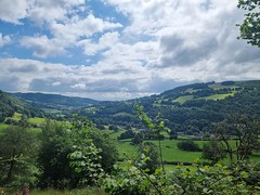
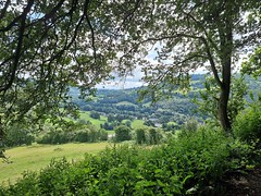
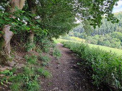
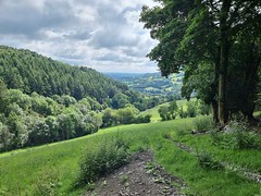
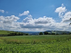
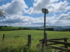
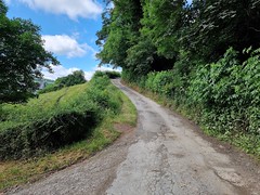
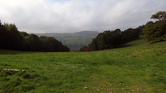
A lovely countryside walk in the Ceiriog Valley. Starting at the Swan Inn car park in Pontfadog, the walk goes along the road before travelling up the valley on bridleways and lanes, affording great views of the valley below, where the walk crests there are views of the Berwyn mountains in the distance. The walk back down cuts across fields, bridleways and lanes back to Pontfadog.
Park and start the Walk at the Swan Inn car park: 52.9343040 -3.1406834
Total distance: 6.8 Miles
Total time: 3.58 hrs
Moving time: 2.30 hrs
Average speed: 1.67 mi/h
Download GPX
Sep 21, 2016 | 5-10 Miles, Wrexham
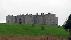
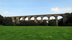
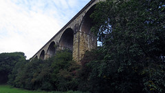
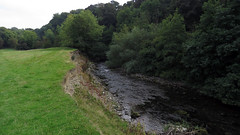
A great walk in the Chirk area taking in the breathtaking Ceiriog Valley. Parking and starting at the public car park in Chirk, then walking along the road to near the railway station, the rest of the walk is then on parkland and farmland tracks, river side tracks and small sections of lanes. All well signposted (look out for the white topped posts for first half), then Offa’s Dyke section, Ceiriog Valley section and even a bit of the Shropshire Way are all part of this walk. At 6.3 miles and relatively flat an easy walk with great scenery. The first part of the Walk is in the grounds of Chirk Castle and we are led to believe this is only open for public walking April to October. Highlights include stunning views of Chirk viaduct and adjacent aqueduct that you pass under, as well as Chirk Castle and the River Ceiriog.
Park and start the Walk at the public Car park in the middle of Chirk
Total distance: 6.3 Miles
Total time: 4 hrs
Moving time: 3.15 hrs
Average speed: 2 mi/h
Max elevation: 601 ft
Min elevation: 367 ft
Download GPX
Mar 16, 2016 | Under 5 Miles, Wrexham
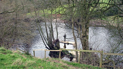
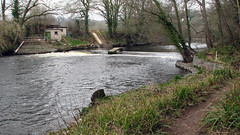
A nice easy walk taking in the River Dee and some nice countryside. Starting at the Boat Inn in Erbistock village, then following the river Dee on well defined paths, before turning off for some countryside across fields and lanes, before returning to the river for the final stretch. Would be boggy in places in wet weather, but today was fine. Plenty of lovely scenery and vistas, as well as wildlife, on a fairly flat walk.
Grid Ref: 52.57.906’N 5.57.744’W (where we parked at The Boat Inn)
Total distance: 4.7 Miles
Total time: 2.33 hrs
Moving time: 2.05 hrs
Average speed: 1.8 mi/h
Max elevation: 322 ft
Min elevation: 82 ft
Download GPX
Nov 29, 2013 | Over 10 Miles, Walks, Wrexham
North Wales
Grid Ref: SJ 270 420
Total distance: 18.94 km (11.8 mi)
Total time: 5:22:38
Moving time: 4:13:29
Average speed: 3.52 km/h (2.2 mi/h)
Average moving speed: 4.48 km/h (2.8 mi/h)
Max elevation: 190 m (623 ft)
Min elevation: 138 m (454 ft)
Elevation gain: 488 m (1601 ft)
Weather: Dull overcast and breezy
Download KML
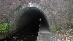
Gaps on the KML are the tunnels.
View Trevor To St.Martins in a larger map
