Mar 19, 2022 | Conwy, Under 5 Miles
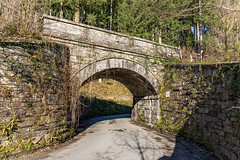
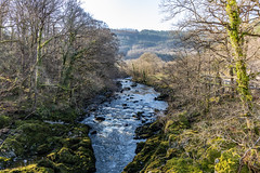
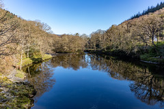
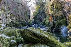
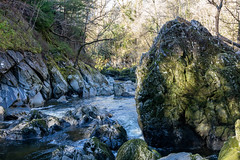
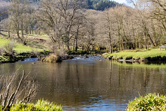
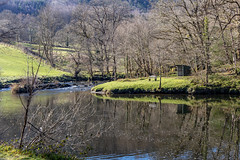
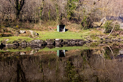
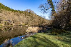
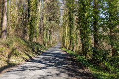
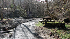
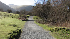
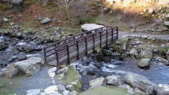
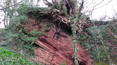
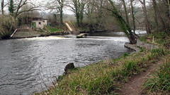
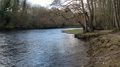
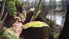
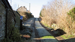
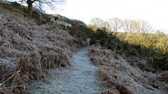
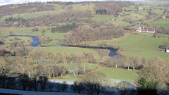
A walk from the middle of Betws Y Coed to the Fairy Glen gorge. Walking along lanes and tracks, taking in great views of the River Conwy and the Fairy Glen gorge and area. Note there is a £1 entrance fee to walk down to the gorge.
Park at any car park in Betws Y Coed
Total distance: 3.5 Miles
Total time: 2 hrs
Moving time: 1.45 hrs
Average speed: 1.75 mi/h
Download GPX
Oct 4, 2017 | Gwynedd, Under 5 Miles
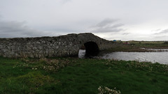
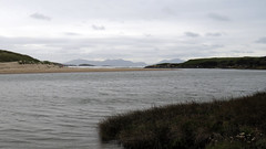
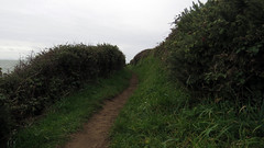
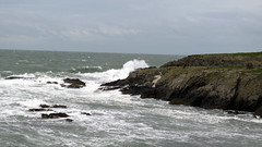
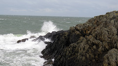
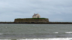
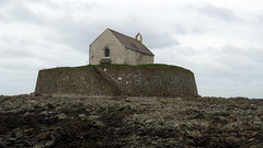
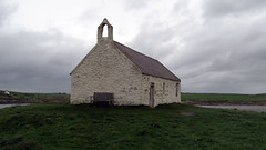
Aberffraw coastal path walk to the church of St Cwyfan and return. A really nice little walk taking in part of the Welsh coastal path on Anglesey. Starting in Aberffraw at the free public car park, you leave the car park via the hump backed bridge and then follow the coastal path signs, the walk then follows the coastal path to the church of St Cwyfan. From here the walk comes inland on lanes to complete the horseshoe back to the car park in Aberffraw. Great coastal views off the west coast of Anglesey with Snowdonia in the distance to the south. The walk takes you to the old church of St Cwyfan standing on the walled island of Cribinau, a unique place, well worth the visit.
Park and start the Walk at the free car park: 53.19233, -4.46165
Total distance: 4.7 Miles
Total time: 2.43 hrs
Moving time: 2.10 hrs
Average speed: 1.7 mi/h
Minimum Elevation: 13 feet
Maximum Elevation: 160 feet
Download GPX
May 8, 2017 | Gwynedd, Under 5 Miles
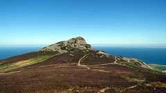
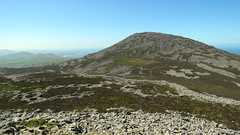
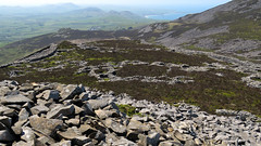
Yr Eifl’s 3 peaks are called The Rivals in English, the last includes the magnificent hill fort Tre’r Ceir.
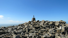
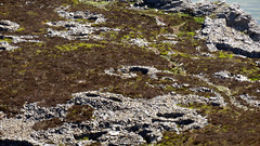
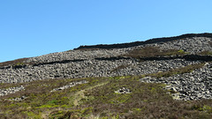
A stunning walk, with great views and history. Starting at the public car park you follow the obvious track taking in the the first peak on the left affording great views of the sea and coast. (GPX does not include this as unfortunatley it was in my rucksack left at the bottom of this peak!). From there you walk to the main peak Yr Eifl, the last section is a bit of a scramble, but so worth it at the summit. from this peak you walk down and back up to the third peak which houses the famous Tre’r Ceiri Hill Fort – a well preserved hill fort with both walls intact in places and many circular foundations of dwellings. From this peak you walk back to the start. A really worth while walk!
Park and start the Walk at the pay car park by the visitors centre: 52.96877, -4.45373
Total distance: 4.2 Miles
Total time: 4.30 hrs
Moving time: 3 hrs
Average speed: 0.9 mi/h
Minimum Elevation: 892 feet
Maximum Elevation: 1864 feet
Download GPX
Mar 25, 2016 | Gwynedd, Under 5 Miles
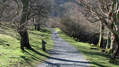
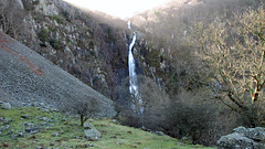
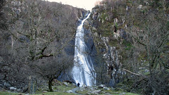
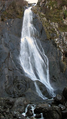
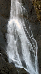
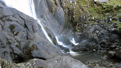
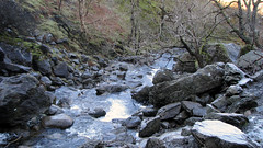
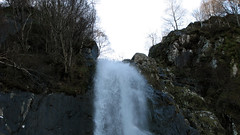
A beautiful walk taking in Aber Falls (Rhaeadr Fawr), just under 5 miles. The walk starts from the car park, then ascends on well defined paths for about 2 miles to the waterfall. Known as Aber Falls (Rhaeadr Fawr in Welsh) this is a spectacular waterfall, its formed from the Red River (Afon Goch) that plunges about 120 feet over an outcrop of igneous rock in in the Carneddau range. To make the walk more interesting we walked on a different route back, that takes in another waterfall, has wonderful scenic countryside, mountain vistas, with views of Anglesey, Puffin Island and the Menai Straights, before returning downhill to the car park.
Grid Ref: 53.22.809’N -4.00.515’W (where we parked)
Total distance: 4.71 Miles
Total time: 2.56 hrs
Moving time: 2.16 hrs
Average speed: 1.6 mi/h
Max elevation: 873 ft
Min elevation: 144 ft
Download GPX
Mar 16, 2016 | Under 5 Miles, Wrexham
A nice easy walk taking in the River Dee and some nice countryside. Starting at the Boat Inn in Erbistock village, then following the river Dee on well defined paths, before turning off for some countryside across fields and lanes, before returning to the river for the final stretch. Would be boggy in places in wet weather, but today was fine. Plenty of lovely scenery and vistas, as well as wildlife, on a fairly flat walk.
Grid Ref: 52.57.906’N 5.57.744’W (where we parked at The Boat Inn)
Total distance: 4.7 Miles
Total time: 2.33 hrs
Moving time: 2.05 hrs
Average speed: 1.8 mi/h
Max elevation: 322 ft
Min elevation: 82 ft
Download GPX
Feb 24, 2016 | Denbighshire, Under 5 Miles
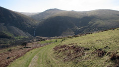
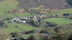
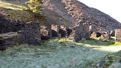
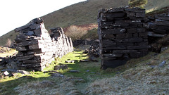
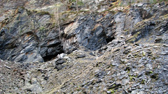
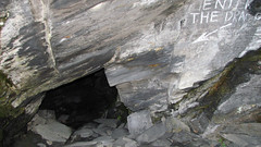
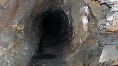
A really nice little walk with stunning views of the Dee Valley, and Snowdonia in the distance and the Berwyns. Parking near Carrog then ascending up the hill on clearly defined paths for about 1.5 miles, you reach the slate mines. Many old slate buildings and metal workings still present. Traveling around then you will see two cave entrances, one with graffiti on the wall saying ‘Enter The Dragon’ – you need good torches for this bit as there is a warren of tunnels underground (not mapped on the GPX as no signal inside) – enter the mines and explore at your own risk. These caves are sometimes referred to as The Dragons Breathe – as the air inside is warm! We walked back down on a slightly different route for variation.
Grid Ref: SH 94761 64071 – 52.58.708’N 3.19.392’W (where we parked)
Total distance: 3.35 Miles 5.4 Km (and whatever you do underground)
Total time: 4 hrs
Moving time: 3.23 hrs
Average speed: 1.3 mi/h
Max elevation: 1161 ft
Min elevation: 461 ft
Download GPX
