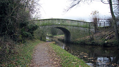
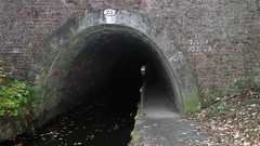
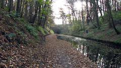
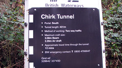
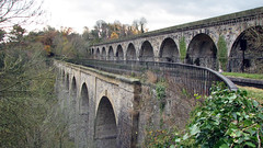
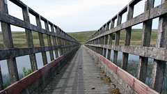
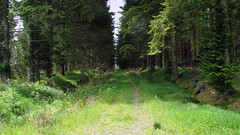
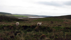
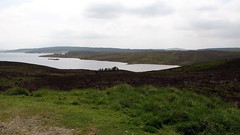
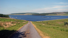
Nov 29, 2013 | Over 10 Miles, Walks, Wrexham
North Wales
Grid Ref: SJ 270 420
Total distance: 18.94 km (11.8 mi)
Total time: 5:22:38
Moving time: 4:13:29
Average speed: 3.52 km/h (2.2 mi/h)
Average moving speed: 4.48 km/h (2.8 mi/h)
Max elevation: 190 m (623 ft)
Min elevation: 138 m (454 ft)
Elevation gain: 488 m (1601 ft)
Weather: Dull overcast and breezy
Download KML
Gaps on the KML are the tunnels.
View Trevor To St.Martins in a larger map
Oct 9, 2013 | Denbighshire, Over 10 Miles, Walks
North Wales
Grid ref: SJ 222 430
Total distance: 19.58 km (12.2 mi)
Total time: 6:10:52
Moving time: 4:15:53
Average speed: 3.17 km/h (2.0 mi/h)
Average moving speed: 4.59 km/h (2.9 mi/h)
Max elevation: 174 m (572 ft)
Min elevation: 126 m (413 ft)
Elevation gain: 505 m (1658 ft)
Weather, sun and showers. No photos
Download KML
View Llangollencanalaquaduct in a larger map
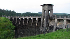
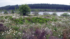
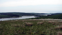
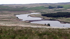
Jun 19, 2013 | Conwy, Over 10 Miles, Walks
North Wales
Grid Ref: SH 955 530
Total distance: 23.37 km (14.5 mi)
Total time: 6:54:12
Moving time: 6:43:38
Average speed: 3.38 km/h (2.1 mi/h)
Average moving speed: 3.47 km/h (2.2 mi/h)
Max elevation: 510 m (1674 ft)
Min elevation: 407 m (1335 ft)
Elevation gain: 556 m (1826 ft)
Weather: overcast and mild for first half, then sunny and hot
Download KML
View Alwen & Brenig Full 19/06/2013 09:51 in a larger map
May 8, 2013 | Conwy, Over 10 Miles, Walks
North Wales
Grid Ref: SH 955 530
Total distance: 16.97 km (10.5 mi)
Total time: 4:34:54
Moving time: 4:19:40
Average speed: 3.70 km/h (2.3 mi/h)
Average moving speed: 3.92 km/h (2.4 mi/h)
Max elevation: 499 m (1636 ft)
Min elevation: 408 m (1339 ft)
Elevation gain: 482 m (1580 ft)
Weather: overcast, poor visibility, followed by heavy rain for last 5 miles. No Photos!
Download KML
View Alwen & Brenig short in a larger map
