Jul 22, 2014 | Denbighshire, Under 5 Miles
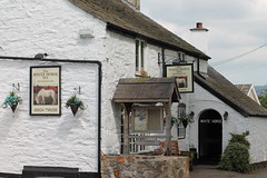
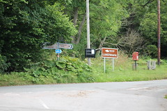
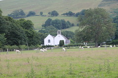
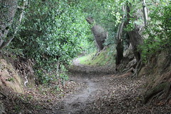
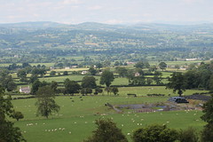
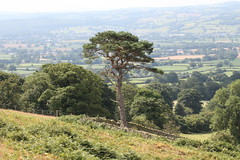
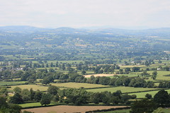
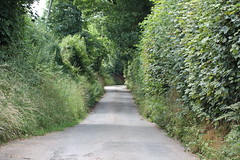
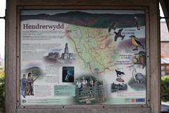
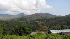
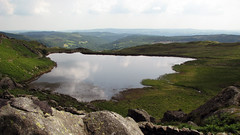
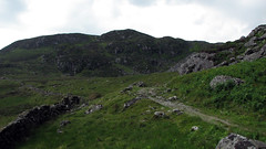
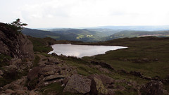
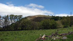
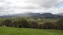
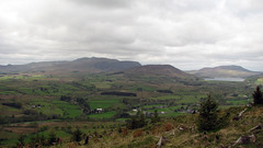
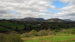
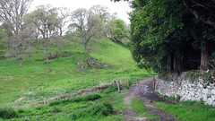
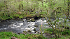
A short countryside walk in the Vale of Clwyd. Starting in the picturesque village of Hendrerwydd by the White Horse Inn, follow the map/track along country lanes, gaining height via woodland and moorland footpaths, and arriving at a large rock on a hillside field below the Moel Famau range. The views are of most of the Vale of Clwyd, with Snowdonia behind them. Return to the village via the map/track. Most of the walk is in picturesque lanes, with a few bridleway/footpath sections that are well maintained with decent stiles.
Grid Ref: SJ 121 635
Total distance: 5.60 km (3.5 mi)
Total time: 2:46:40
Moving time: 2:35:58
Average speed: 2.02 km/h (1.3 mi/h)
Average moving speed: 2.16 km/h (1.3 mi/h)
Max elevation: 287 m (942 ft)
Min elevation: 125 m (410 ft)
Elevation gain: 188 m (615 ft)
Weather: Full sun very hot
Download KML
View Hendrerwydd vale view in a larger map
Jul 10, 2013 | Gwynedd, Under 5 Miles, Walks
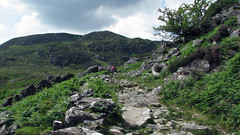
A pleasant small walk to the base of Moel Siabod – we were going to walk Moel Siabod but it was far to hot, so saved for a more pleasant day!
Grid Ref: SH 735 571
Total distance: 5.60 km (3.5 mi)
Total time: 2:23:51
Moving time: 2:08:05
Average speed: 2.34 km/h (1.5 mi/h)
Average moving speed: 2.62 km/h (1.6 mi/h)
Max elevation: 458 m (1504 ft)
Min elevation: 209 m (685 ft)
Elevation gain: 284 m (933 ft)
Weather: Very hot, full sun
Download KML
View 10/07/2013 10:01 in a larger map
May 22, 2013 | Gwynedd, Under 5 Miles, Walks
North Wales
Grid Ref: SH 913 384
Total distance: 7.62 km (4.7 mi)
Total time: 3:21:54
Moving time: 2:41:48
Average speed: 2.27 km/h (1.4 mi/h)
Average moving speed: 2.83 km/h (1.8 mi/h)
Max elevation: 466 m (1527 ft)
Min elevation: 234 m (768 ft)
Elevation gain: 350 m (1150 ft)
Weather: overcast and windy, clearing and sunny by end. Boggy areas on walk.
Download KML
View Moel Emoel 22/05/2013 09:52 in a larger map
Mar 4, 2013 | Gwynedd, Under 5 Miles, Walks
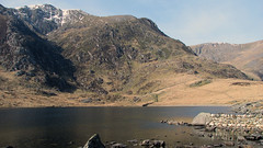
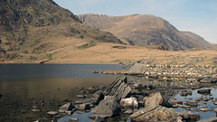
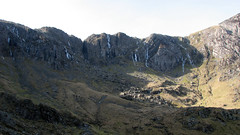
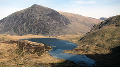
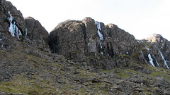
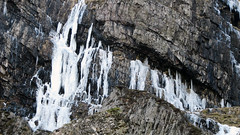
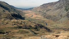
A short walk at just under 3 miles, with stunning views of Cwm Idwal, Tryfan, and the Ogwen Valley. The walk starts at the Ogwen Car Park at the end of Llyn Ogwen. Follow the path up adjacent to the visitors center and toilets, crossing a stream over a wooden bridge. Follow the path up hill until you reach the stunning crystal clear lake Llyn Idwal. Then turn left and walk around the lake, at the lakes far end you are under ‘Idwal slabs’ and looking up you can see the Slabs, Tryfan mountain on your left and the ‘Devils Kitchen’. (The KML file for this walk uses the lower path at the end of the lake, there is another obvious higher path should you want to extend the walk and gain a bit more height). Follow the path back around the far side of the lake and then detour at the end of the lake to take in the stunning view of the Ogwen valley looking towards Bethesda. Return to the lake and follow it around back to the path you came up, follow it back down to the car park.
Grid Ref: SH 649 603
Total distance: 4.71 km (2.9 mi)
Total time: 2:08:02
Moving time: 1:33:32
Average speed: 2.21 km/h (1.4 mi/h)
Average moving speed: 3.02 km/h (1.9 mi/h)
Max elevation: 451 m (1481 ft)
Min elevation: 359 m (1178 ft)
Elevation gain: 168 m (552 ft)
Weather: Cold freezing and sunny.
Download KML
View Cwm Idwal in a larger map
