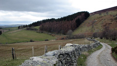
Oct 23, 2014 | 5-10 Miles, Denbighshire
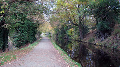
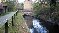
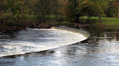
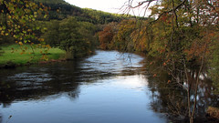
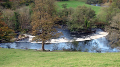
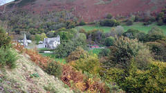
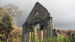
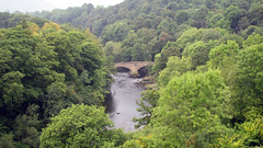
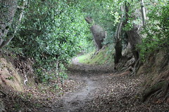
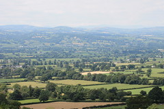
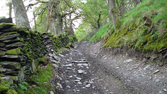
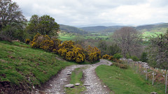
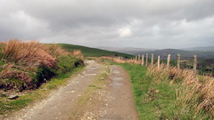
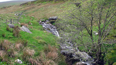
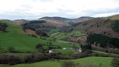
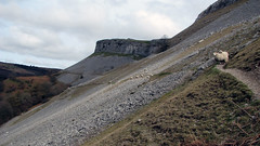
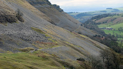
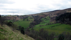
A horseshoe walk of the Llangollen area taking in a bit of the Canal to its source at Horseshoe Falls, the Abbey, the Escarpment and Castle Dinas Bran. A fairly easy walk with some uphill sections and excellent panoramic views.
Grid ref: SJ 222 430
Total distance: 15.22 km (9.5 mi)
Total time: 5:29:13
Moving time: 4:53:21
Average speed: 2.77 km/h (1.7 mi/h)
Average moving speed: 3.11 km/h (1.9 mi/h)
Max elevation: 364 m (1194 ft)
Min elevation: 129 m (422 ft)
Elevation gain: 566 m (1856 ft)
Weather: mild, overcast, sunny at times
Download KML
Sep 15, 2014 | Denbighshire, Over 10 Miles
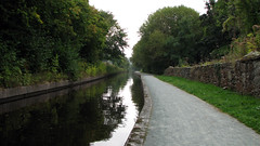
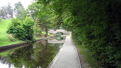
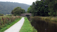
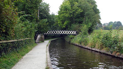
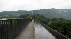
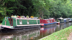
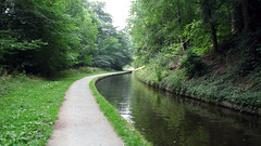
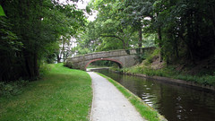
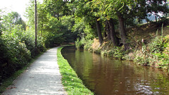
A canal path walk in an area of outstanding natural beauty. Starting at Llangollen Canal and following the tow path to the amazing Pontcysyllte Aqueduct (built by Telford). Crossing the Aqueduct and carrying on for a mile or so to Trevor Basin (we had lunch there). The return leg is the same route back. The grid ref is for the long stay car park in the middle of Llangollen.
Grid ref: SJ 222 430
Total distance: 17.80 km (11.1 mi)
Total time: 5:23:15
Moving time: 5:00:32
Average speed: 3.30 km/h (2.1 mi/h)
Average moving speed: 3.55 km/h (2.2 mi/h)
Max elevation: 196 m (644 ft)
Min elevation: 135 m (441 ft)
Weather: overcast mild morning brightening up in the afternoon
Download KML
View Llangollen Canal to Trevor Basin 15/9/14 in a larger map
Jul 22, 2014 | Denbighshire, Under 5 Miles
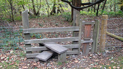
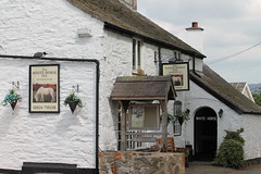
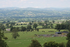
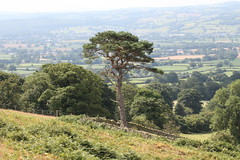
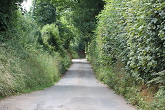
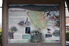
A short countryside walk in the Vale of Clwyd. Starting in the picturesque village of Hendrerwydd by the White Horse Inn, follow the map/track along country lanes, gaining height via woodland and moorland footpaths, and arriving at a large rock on a hillside field below the Moel Famau range. The views are of most of the Vale of Clwyd, with Snowdonia behind them. Return to the village via the map/track. Most of the walk is in picturesque lanes, with a few bridleway/footpath sections that are well maintained with decent stiles.
Grid Ref: SJ 121 635
Total distance: 5.60 km (3.5 mi)
Total time: 2:46:40
Moving time: 2:35:58
Average speed: 2.02 km/h (1.3 mi/h)
Average moving speed: 2.16 km/h (1.3 mi/h)
Max elevation: 287 m (942 ft)
Min elevation: 125 m (410 ft)
Elevation gain: 188 m (615 ft)
Weather: Full sun very hot
Download KML
View Hendrerwydd vale view in a larger map
May 7, 2014 | 5-10 Miles, Denbighshire, Walks
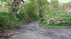
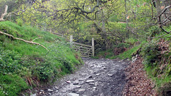
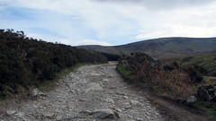
A moorland scenic walk, with great views of the Dee Valley, Llandrillo and the Berwyn Mountains. Starting at the free car park just before the bridge in Llandrillo village. Turn left out of the car park and cross the road, then turn right onto a quiet lane just after the community center, follow the lane uphill, eventually you will go through a gate and onto a rough track. This section of the walk is easy to navigate as its part of the ‘Tegid Way’ with markers showing you this, carry on up the track, your basically walking uphill from the village for 3.8 miles until you summit. At the top is a Cairn, and an interesting plaque ‘Wayfarer’ embedded in the rock just before the Cairn. Follow the same route down. (We did this walk with the aim of making it into a 10 mile horseshoe, by passing the cairn and carrying onto Cadair Bronwen, then walking from there back to Llandrillo – however the weather became really extreme with Bronwen under thick cloud so we back tracked).
Grid Ref: SJ 035 371
Total distance: 12.54 km (7.8 mi)
Total time: 4:20:00
Moving time: 4:00:40
Average speed: 2.89 km/h (1.8 mi/h)
Average moving speed: 3.13 km/h (1.9 mi/h)
Max elevation: 649 m (2130 ft)
Min elevation: 208 m (683 ft)
Elevation gain: 561 m (1842 ft)
Weather: sun and showers am, rain and wind pm.
Download KML
View Llandrillo Careg Y Caws Monument and Cairn in a larger map
Apr 4, 2014 | Denbighshire, Over 10 Miles, Walks
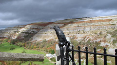
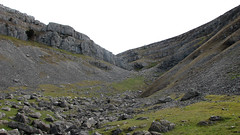
A walk with varied scenery, including Llangollen, Castle Dinas Bran, the limestone escarpment, great views.
The walk starts in Llangollen, using the footpath by the canal and ascending past the school and eventually to the base of Dina Bran. On this route (KML file) we skirted around the base on the footpath (as we have done Dinas Bran itself so many times previously – if you have not make sure you do it because its a great place with good views), leaving the castle on its opposite side you end up on a lane, walk up and turn left at the T junction, the escarpment is now on your right, follow the lane for a distance before eventually finding the path on the right which lets you walk / traverse along the escarpment scree, eventually you drop down to green paths before arriving back on the road just by Worlds End ford. Leave the ford for the return leg and follow the lane you came down, but this time keep going instead of rejoining the footpath, using the map you will walk a few miles in country lanes before rejoining the lane you left for the escarpment, walk back to Dinas Bran, this time not leaving the lane, to keep going downhill to Llangollen
Grid Ref: SJ 217 421
Total distance: 17.75 km (11.0 mi)
Total time: 5:35:25
Moving time: 4:34:39
Average speed: 3.17 km/h (2.0 mi/h)
Average moving speed: 3.88 km/h (2.4 mi/h)
Max elevation: 394 m (1292 ft)
Min elevation: 142 m (465 ft)
Elevation gain: 719 m (2360 ft)
Weather: mild, sun and overcast at times
Download KML
View Llangollen Worlds End Horseshoe in a larger map
Mar 17, 2014 | Denbighshire, Over 10 Miles, Walks
North Wales
Grid Ref: SJ 058 414
Total distance: 17.38 km (10.8 mi)
Total time: 5:56:12
Moving time: 4:28:38
Average speed: 2.93 km/h (1.8 mi/h)
Average moving speed: 3.88 km/h (2.4 mi/h)
Max elevation: 646 m (2120 ft)
Min elevation: 207 m (678 ft)
Elevation gain: 817 m (2679 ft)
Weather: warm sunny start, overcast windy cold pm
Download KML
View Cynwyd to Careg Y Caws Monument and Cairn in a larger map
