Oct 1, 2018 | 5-10 Miles, Gwynedd
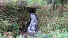
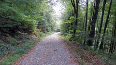
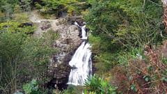
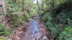
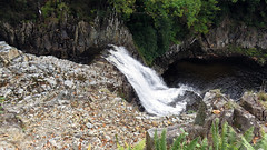
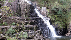
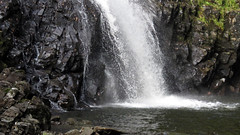
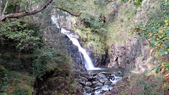
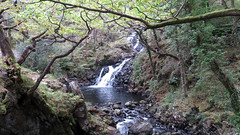
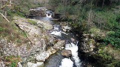
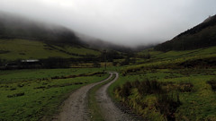
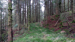
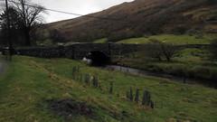
A nice forest track walk taking in 3 Waterfalls, and finishing at The Black Waterfall (Rhaeder Ddu). Easy well defined paths, walking along the River Mawddach for most of the walk, through natural and pine forests. Starts at a free public car park with toilets.
Park and start the Walk at the free car park: 52.8018150, -3.8900376
Total distance: 6.5 Miles
Total time: 3 hrs
Moving time: 2.2 hrs
Average speed: 2.1 mi/h
Maximum Elevation: 487 feet
Download GPX
Oct 4, 2017 | Gwynedd, Under 5 Miles
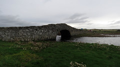
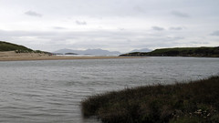
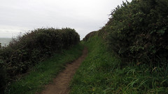
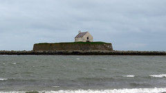
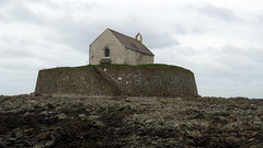
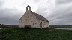
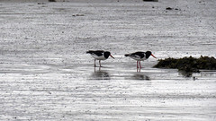
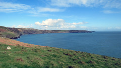
Aberffraw coastal path walk to the church of St Cwyfan and return. A really nice little walk taking in part of the Welsh coastal path on Anglesey. Starting in Aberffraw at the free public car park, you leave the car park via the hump backed bridge and then follow the coastal path signs, the walk then follows the coastal path to the church of St Cwyfan. From here the walk comes inland on lanes to complete the horseshoe back to the car park in Aberffraw. Great coastal views off the west coast of Anglesey with Snowdonia in the distance to the south. The walk takes you to the old church of St Cwyfan standing on the walled island of Cribinau, a unique place, well worth the visit.
Park and start the Walk at the free car park: 53.19233, -4.46165
Total distance: 4.7 Miles
Total time: 2.43 hrs
Moving time: 2.10 hrs
Average speed: 1.7 mi/h
Minimum Elevation: 13 feet
Maximum Elevation: 160 feet
Download GPX
May 8, 2017 | Gwynedd, Under 5 Miles
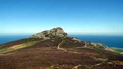
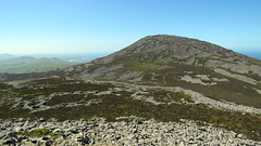
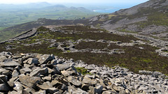
Yr Eifl’s 3 peaks are called The Rivals in English, the last includes the magnificent hill fort Tre’r Ceir.
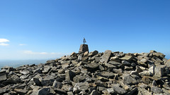
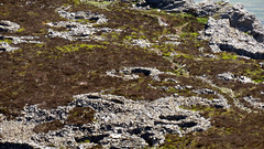
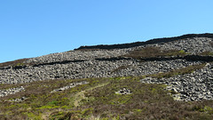
A stunning walk, with great views and history. Starting at the public car park you follow the obvious track taking in the the first peak on the left affording great views of the sea and coast. (GPX does not include this as unfortunatley it was in my rucksack left at the bottom of this peak!). From there you walk to the main peak Yr Eifl, the last section is a bit of a scramble, but so worth it at the summit. from this peak you walk down and back up to the third peak which houses the famous Tre’r Ceiri Hill Fort – a well preserved hill fort with both walls intact in places and many circular foundations of dwellings. From this peak you walk back to the start. A really worth while walk!
Park and start the Walk at the pay car park by the visitors centre: 52.96877, -4.45373
Total distance: 4.2 Miles
Total time: 4.30 hrs
Moving time: 3 hrs
Average speed: 0.9 mi/h
Minimum Elevation: 892 feet
Maximum Elevation: 1864 feet
Download GPX
Apr 11, 2017 | 5-10 Miles, Gwynedd
Coed Y Brenin forest North Wales, a nice walk at just under 7 miles on decent forest tracks. There are a lot of mountain bikes on half this route (we did not realise it was a mountain bike center!), bikes aside a really nice walk. Starting at the visitor center car park the fist of half of the walk is along Llyn Eden (River Eden) and it is beautiful, after the river a steep ascent though woods then back on forest tracks for the return leg. There are great views and a lot of bird life, we saw two jays!
Park and start the Walk at the pay car park by the visitors centre: 52.824234, -3.896090
Total distance: 6.34 Miles
Total time: 3.32 hrs
Moving time: 2.35 hrs
Average speed: 1.8 mi/h
Minimum Elevation: 166 feet
Maximum Elevation: 757 feet
Download GPX
Mar 1, 2017 | 5-10 Miles, Gwynedd
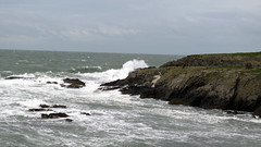
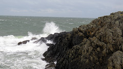
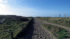
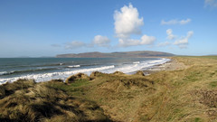
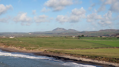
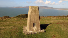
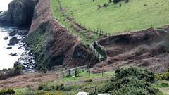
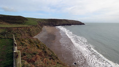
Great walk taking in a few miles of the Welsh coastal path. Starting at Hells mouth (Porth Neigwl) and walking around the headlands before cutting back across countryside to Hells mouth (Porth Neigwl). Fairly easy walk although it does have some up and down sections, and can be boggy near the end of the countryside section. Spectacular views of cliffs and beaches and a lot of bird life.
Park and start the Walk at the beach car park: N 52.81016 W -4.54723 (SH 284267)
Total distance: 8.2 Miles
Total time: 4.33 hrs
Moving time: 3.45 hrs
Average speed: 1.8 mi/h
Minimum Elevation: 16 feet
Maximum Elevation: 405 feet
Total climb: 1217 feet
Total descent: 1203 feet
Download GPX
Feb 20, 2017 | 5-10 Miles, Gwynedd, Walks
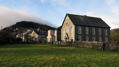
A really nice walk from the village of Penmachno walking around Moel Pen-Y-Bryn mountain. A fairly easy walk as only one steep uphill section, and only just over 7 miles long. The walk starts in the village and has varied terrains from tracks, forest paths, open fields, farm tracks and a bit of lane. It can be a bit boggy in sections so take the right gear. It has great views of the valley, rivers and hills. Unfortunately we chose a very wet day for it, but the weather in this area can be varied, so be prepared!
Park and start the Walk in the village we parked near N 53.03952 W -3.80578
Total distance: 7.15 Miles
Total time: 3.59 hrs
Moving time: 3.30 hrs
Average speed: 1.79 mi/h
Download GPX
