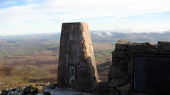
Dec 3, 2014 | 5-10 Miles, Gwynedd
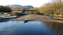
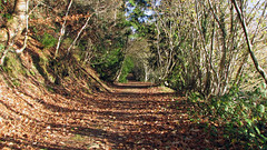
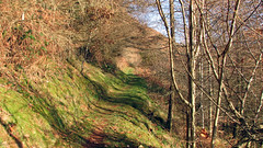
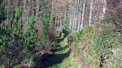
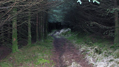
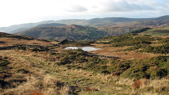
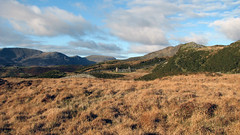
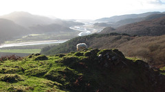
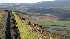
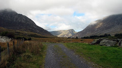
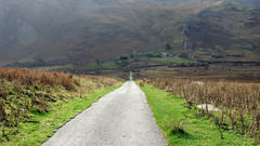
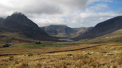
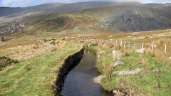
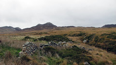
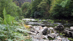
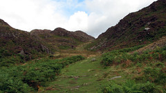
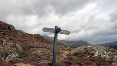
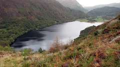
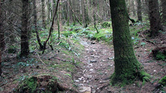
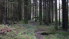
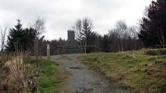
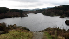
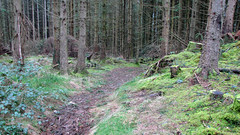
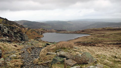
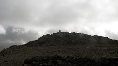
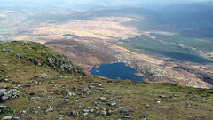
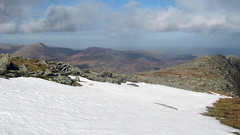
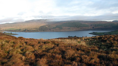
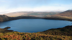
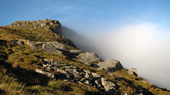
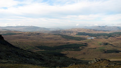
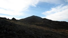
A horseshoe walk with stunning vista’s above Dolgellau North Wales, taking in hills, forests, more land, mountain views and even the sea at Barmouth. Good tracks, one for good weather for the views!
Grid Ref: SH 718 191
Total distance: 11.03 km (6.9 mi)
Total time: 4:42:48
Moving time: 3:47:25
Average speed: 2.34 km/h (1.5 mi/h)
Average moving speed: 2.91 km/h (1.8 mi/h)
Max elevation: 360 m (1181 ft)
Min elevation: 49 m (160 ft)
Elevation gain: 521 m (1709 ft)
Weather: frozen ground start, cold with brilliant sun
Download KMZ
Oct 14, 2014 | 5-10 Miles, Gwynedd
Grid ref: SH 720 582
Total distance: 13.20 km (8.2 mi)
Total time: 5:10:22
Moving time: 4:53:07
Average speed: 2.55 km/h (1.6 mi/h)
Average moving speed: 2.70 km/h (1.7 mi/h)
Max elevation: 491 m (1610 ft)
Min elevation: 243 m (797 ft)
Elevation gain: 388 m (1272 ft)
Weather: mixed, sunshine showers, mild to cold, overcast and clear spells
Download KML
Sep 24, 2014 | 5-10 Miles, Gwynedd
Grid ref: SH 586 482
Total distance: 10.77 km (6.7 mi)
Total time: 4:09:28
Moving time: 3:50:37
Average speed: 2.59 km/h (1.6 mi/h)
Average moving speed: 2.80 km/h (1.7 mi/h)
Max elevation: 337 m (1104 ft)
Min elevation: -19 m (-62 ft)
Elevation gain: 496 m (1627 ft)
Weather: sunshine and a couple of showers, mild
Download KML
Mar 5, 2014 | 5-10 Miles, Gwynedd, Walks
North Wales
Grid Ref: SH 795 565
Total distance: 11.44 km (7.1 mi)
Total time: 4:44:50
Moving time: 3:24:33
Average speed: 2.41 km/h (1.5 mi/h)
Average moving speed: 3.35 km/h (2.1 mi/h)
Max elevation: 324 m (1063 ft)
Min elevation: 77 m (253 ft)
Elevation gain: 563 m (1848 ft)
Weather: mild, overcast
Download KML
View Betws Y Coed – Llyn Elsi in a larger map
Feb 26, 2014 | 5-10 Miles, Gwynedd, Walks
North Wales
Grid Ref: SH 735 571
Total distance: 11.31 km (7.0 mi)
Total time: 6:31:11
Moving time: 5:43:02
Average speed: 1.73 km/h (1.1 mi/h)
Max elevation: 922 m (3025 ft)
Min elevation: 215 m (706 ft)
Elevation gain: 810 m (2656 ft)
Weather: mixed, sun, drizzle, clouds, wind, cold
Download KML
View Moel Siabod in a larger map
Dec 17, 2013 | 5-10 Miles, Gwynedd, Walks
North Wales
Grid Ref: SH 829 392
Total distance: 10.99 km (6.8 mi)
Total time: 5:07:44
Moving time: 4:48:35
Average speed: 2.14 km/h (1.3 mi/h)
Average moving speed: 2.28 km/h (1.4 mi/h)
Max elevation: 898 m (2947 ft)
Min elevation: 384 m (1261 ft)
Elevation gain: 616 m (2021 ft)
Weather: started a bit overcast, cleared for summit, sun, very cold, upper ground frost.
Download KML
View Arenig Fawr in a larger map
