Feb 7, 2017 | 5-10 Miles, Gwynedd
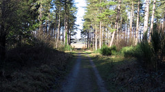
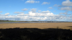
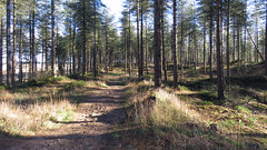
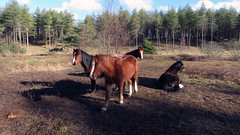
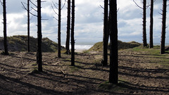
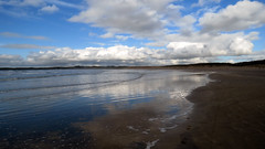
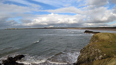
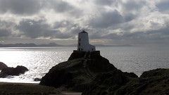
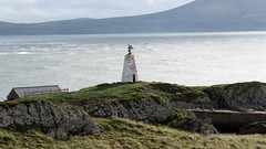
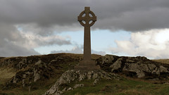
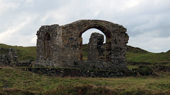
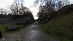
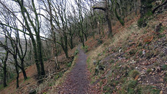
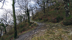
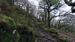
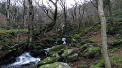
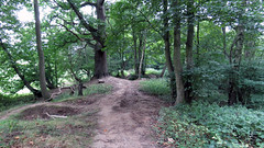
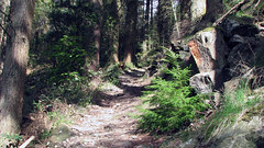
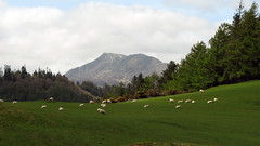
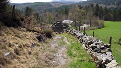
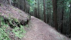
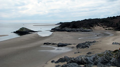
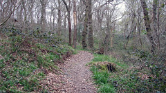
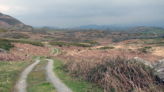
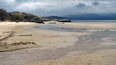
A lovely walk in south west Anglesey, good forest tracks with stunning sea and Snowdonia views near the end, in the Newborough Warren National Nature Reserve. At just over 8 miles the walk is easy as fairly flat. Starting at the car park you follow the forest tracks going around the forest in a big horseshoe, near the end you hit the beach and head out onto a peninsula called Llanddwyn Island (Ynys Llanddwyn). Great Snowdonia vistas and a historic site – The church of St. Dwynwen (the Welsh patron saint of lovers), after this you head back to the forest for the last section of the walk.
Park and start the Walk at the public Car N 53.144106 W -4.385195
Total distance: 8.3 Miles
Total time: 4.10 hrs
Moving time: 3.30 hrs
Average speed: 2 mi/h
Download GPX
Feb 1, 2017 | 5-10 Miles, Gwynedd
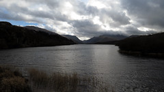
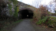
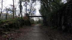
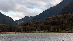
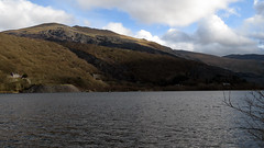
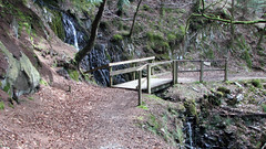
A walk around Llyn Padarn (Padarn Lake) in Llanberis Snowdonia. A nice easy walk at just under 6 miles. Start from the car park heading to the lake, you cross the footbridge at the Snowdon end of the lake then follow the trail signs around the lake. The first section comprises tracks, woodland paths and lanes, these take you uphill away from the lake but still afford great views. You then descend on lanes to the far end of the lake. The return leg on the town side of the lake is clearly marked trails with a couple of sections of pavement.
Park and start the Walk at the public Car park by the lake in Llanberis
Total distance: 5.7 Miles
Total time: 3 hrs
Moving time: 2.40 hrs
Average speed: 2 mi/h
Max elevation: 682 ft
Min elevation: 344 ft
Download GPX
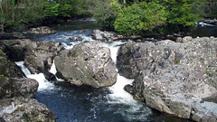
Sep 21, 2016 | 5-10 Miles, Wrexham
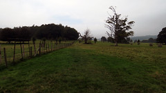
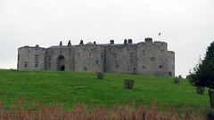
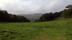
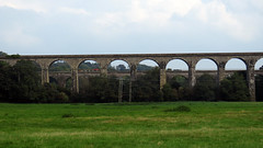
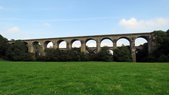
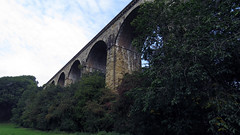
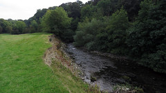
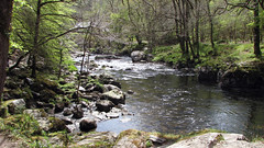
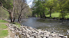
A great walk in the Chirk area taking in the breathtaking Ceiriog Valley. Parking and starting at the public car park in Chirk, then walking along the road to near the railway station, the rest of the walk is then on parkland and farmland tracks, river side tracks and small sections of lanes. All well signposted (look out for the white topped posts for first half), then Offa’s Dyke section, Ceiriog Valley section and even a bit of the Shropshire Way are all part of this walk. At 6.3 miles and relatively flat an easy walk with great scenery. The first part of the Walk is in the grounds of Chirk Castle and we are led to believe this is only open for public walking April to October. Highlights include stunning views of Chirk viaduct and adjacent aqueduct that you pass under, as well as Chirk Castle and the River Ceiriog.
Park and start the Walk at the public Car park in the middle of Chirk
Total distance: 6.3 Miles
Total time: 4 hrs
Moving time: 3.15 hrs
Average speed: 2 mi/h
Max elevation: 601 ft
Min elevation: 367 ft
Download GPX
May 4, 2016 | 5-10 Miles, Conwy
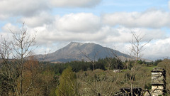
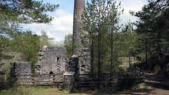
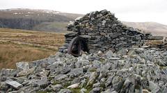
A really nice walk at just over 7 miles. Starting in Betws Y Coed, then walking up though the forest on a fairly steep section, before leveling out. Greats views of Moel Siabod and Snowdonia, at times great 360 panorama vistas. The walk then carries on alongside and in forests before reaching a fascinating old lead mine with chimney still intact. The mine is roughly half way. From there heading back to Betws Y Coed on forest tracks and trails, eventually arriving at the river which you walk along back to the town.
Park and start the Walk anywhere in Betws Y Coed.
Total distance: 7.1 Miles
Total time: 3.51 hrs
Moving time: 3.15 hrs
Average speed: 1.9 mi/h
Max elevation: 928 ft
Min elevation: 75 ft
Download GPX
Apr 15, 2016 | 5-10 Miles, Gwynedd
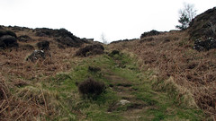
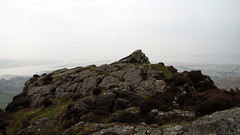
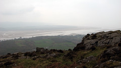
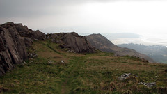
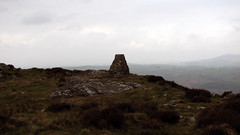
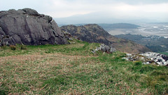
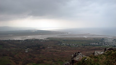
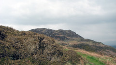
A nice 6.8 mile walk with multiple terrains, and stunning vistas. Starting at the car park at Borth Y Gest (near Porthmadog), then following well defined paths, you travel through woodland, lanes and tracks. Then ascend Moel Y gest, there are 2 peaks here, the furthest having the trig point and also being marked as a Hill Fort on the OS map, both affording stunning views of Snowdonia, the estuary, and the coast, Cricceth Castle is visible to the North. From the peak you travel down until you eventually find yourself on a section of the Wales coastal path, then onto a beach, before the final leg back to the car park. This was a really great walk for views, the ascent of Moel y Gest is steep but well worth it for the 360 views. It was quite overcast for us so the photographs are not so impressive – a walk for a good day owing to the great views.
Grid Ref: N 52.915875 W 4.136570 (where we parked)
Total distance: 6.45 Miles
Total time: 4.48 hrs
Moving time: 4.00 hrs
Average speed: 1.34 mi/h
Max elevation: 1044 ft
Min elevation: 10 ft
Download GPX
Apr 6, 2016 | 5-10 Miles, Gwynedd
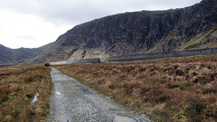
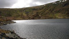
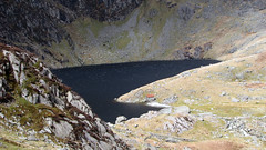
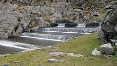
Melynllyn & Dulyn Reservoirs on the eastern side of the Carneddau mountains in Snowdonia. Upon parking we spotted a huge dam wall in the distance with breaks in, so added that at the start, we had to see it. It turns out after researching the dam: “on 2 November 1925, following 26 inches (660 mm) of rain in just five days, the dam broke. The water flowed down to Coedty Reservoir, also causing that to burst, and millions of gallons of water flowed down into the village of Dolgarrog, causing the loss of 17 lives” from: https://en.wikipedia.org/wiki/Llyn_Eigiau
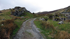
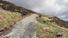
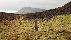
Upon returning to the car park we commenced our walk to the Melynllyn & Dulyn Reservoirs. The walk is uphill most of the way to the Melynllyn Reservoir (wiki info: https://en.wikipedia.org/wiki/Llyn_Melynllyn) on well defined paths, unfortunate for us we chose a day with 40-50mph winds and occasional hail coming straight at us on this section, making it quite a slog to the reservoir. From the Melynllyn you travel down a rocky path to the Dulyn Reservoir (wiki info: https://en.wikipedia.org/wiki/Llyn_Dulyn). From there you then cross very boggy moorland for the bulk of the journey back, the paths are not well defined on this section, but there are a couple of styles and occasional concrete posts marking the way.
This walk has spectacular views, just wished we had chosen better weather, obviously in this area and at this height the weather can also be very changeable – be prepared and well equipped.
Grid Ref: 53.177726N –3.900219W (where we parked)
Total distance: 8.5 Miles
Total time: 4.36 hrs
Moving time: 4.06 hrs
Average speed: 1.8 mi/h
Max elevation: 2126 ft
Min elevation: 1214 ft
Download GPX

