Feb 28, 2016 | 5-10 Miles, Conwy
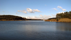
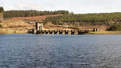
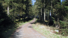
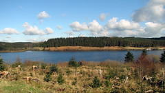
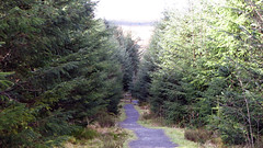
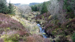
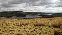
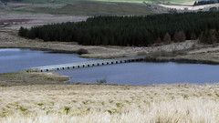
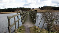
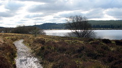
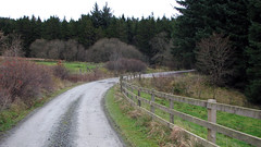
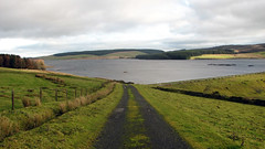
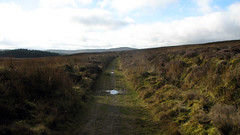
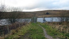
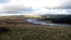
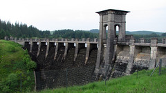
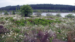
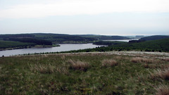
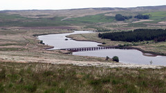
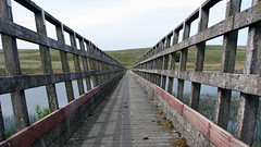
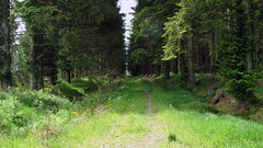
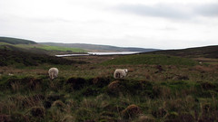
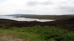
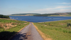
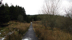
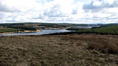
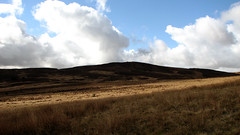
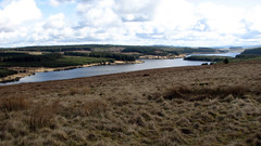
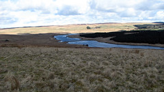
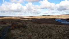
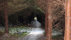
Posted before, but now with an accurate GPX file from a Garmin Etrex30. This is a really nice walk just under 7 miles, great views of the Reservoir, moor land, forests, grass land. Nothing too hard, mainly flat on well defined tracks, one ‘hill’ – good keep fit training walk.
Grid Ref: SH 955 530 – 53.3.841’N 3.33.558’W (where we parked)
Total distance: 6.88 Miles
Total time: 2.56 hrs
Moving time: 2.30 hrs
Average speed: 2.34 mi/h
Max elevation: 1464 ft
Min elevation: 1018 ft
Download GPX
Dec 9, 2013 | Conwy, Over 10 Miles, Walks
North Wales
Grid Ref: SH 955 530
Total distance: 17.43 km (10.8 mi)
Total time: 4:25:34
Moving time: 3:54:21
Average speed: 3.94 km/h (2.4 mi/h)
Average moving speed: 4.46 km/h (2.8 mi/h)
Max elevation: 502 m (1647 ft)
Min elevation: 407 m (1336 ft)
Elevation gain: 464 m (1523 ft)
Weather: Dull and windy.
Download KML
View Brenig Alwen anti clockwise in a larger map
Jun 19, 2013 | Conwy, Over 10 Miles, Walks
North Wales
Grid Ref: SH 955 530
Total distance: 23.37 km (14.5 mi)
Total time: 6:54:12
Moving time: 6:43:38
Average speed: 3.38 km/h (2.1 mi/h)
Average moving speed: 3.47 km/h (2.2 mi/h)
Max elevation: 510 m (1674 ft)
Min elevation: 407 m (1335 ft)
Elevation gain: 556 m (1826 ft)
Weather: overcast and mild for first half, then sunny and hot
Download KML
View Alwen & Brenig Full 19/06/2013 09:51 in a larger map
May 8, 2013 | Conwy, Over 10 Miles, Walks
North Wales
Grid Ref: SH 955 530
Total distance: 16.97 km (10.5 mi)
Total time: 4:34:54
Moving time: 4:19:40
Average speed: 3.70 km/h (2.3 mi/h)
Average moving speed: 3.92 km/h (2.4 mi/h)
Max elevation: 499 m (1636 ft)
Min elevation: 408 m (1339 ft)
Elevation gain: 482 m (1580 ft)
Weather: overcast, poor visibility, followed by heavy rain for last 5 miles. No Photos!
Download KML
View Alwen & Brenig short in a larger map
Mar 13, 2013 | 5-10 Miles, Conwy, Walks
North Wales
Grid Ref: SH 955 530
Total distance: 11.38 km (7.1 mi)
Total time: 3:29:48
Moving time: 3:08:07
Average speed: 3.26 km/h (2.0 mi/h)
Average moving speed: 3.63 km/h (2.3 mi/h)
Max elevation: 495 m (1623 ft)
Min elevation: 418 m (1371 ft)
Elevation gain: 377 m (1237 ft)
Weather: crisp, cold, good visibility
Download KML
View Alwen Trail in a larger map

