Feb 25, 2022 | 5-10 Miles, Walks, Wrexham
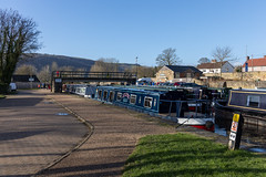
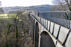
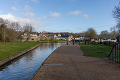
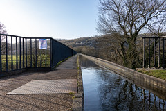
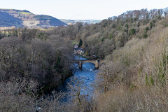
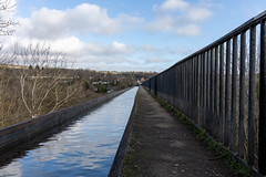
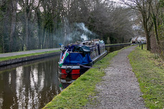
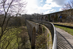
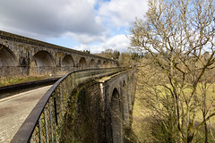
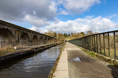
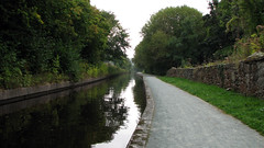
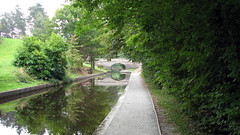
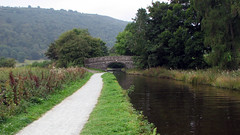
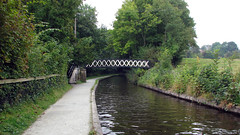
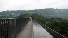
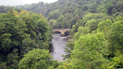
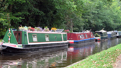
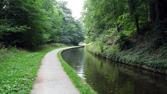
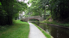
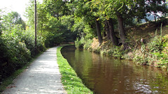
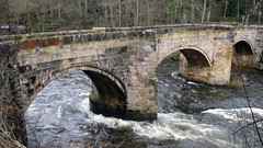
A canal path walk from Pontcysyllte aqueduct to Chirk aqueduct and viaduct and return. A stunning walk, with great peaceful scenery along the Shropshire Union canal. Taking in both of Telford’s aqueducts and Henry Robertson’s viaduct.
park at the public car park by Pontcysyllte aqueduct 52.97305098308993, -3.0855843857784184
Total distance: 8.4 Miles
Total time: 4 hrs
Moving time: 3.30 hrs
Average speed: 1.9 mi/h
Download GPX
Sep 15, 2014 | Denbighshire, Over 10 Miles
A canal path walk in an area of outstanding natural beauty. Starting at Llangollen Canal and following the tow path to the amazing Pontcysyllte Aqueduct (built by Telford). Crossing the Aqueduct and carrying on for a mile or so to Trevor Basin (we had lunch there). The return leg is the same route back. The grid ref is for the long stay car park in the middle of Llangollen.
Grid ref: SJ 222 430
Total distance: 17.80 km (11.1 mi)
Total time: 5:23:15
Moving time: 5:00:32
Average speed: 3.30 km/h (2.1 mi/h)
Average moving speed: 3.55 km/h (2.2 mi/h)
Max elevation: 196 m (644 ft)
Min elevation: 135 m (441 ft)
Weather: overcast mild morning brightening up in the afternoon
Download KML
View Llangollen Canal to Trevor Basin 15/9/14 in a larger map
Feb 3, 2014 | Denbighshire, Over 10 Miles, Walks
North Wales
Grid ref: SJ 222 430
Total distance: 17.82 km (11.1 mi)
Total time: 5:21:52
Moving time: 4:52:31
Average speed: 3.32 km/h (2.1 mi/h)
Average moving speed: 3.66 km/h (2.3 mi/h)
Max elevation: 371 m (1216 ft)
Min elevation: 105 m (344 ft)
Elevation gain: 660 m (2164 ft)
Weather: dull, windy, few spots rain pm on return
Download KML
View Dinas Bran, Pontcysyllte Aqueduct and the Llangollen Canal 03/02/2014 08:53 in a larger map
Oct 9, 2013 | Denbighshire, Over 10 Miles, Walks
North Wales
Grid ref: SJ 222 430
Total distance: 19.58 km (12.2 mi)
Total time: 6:10:52
Moving time: 4:15:53
Average speed: 3.17 km/h (2.0 mi/h)
Average moving speed: 4.59 km/h (2.9 mi/h)
Max elevation: 174 m (572 ft)
Min elevation: 126 m (413 ft)
Elevation gain: 505 m (1658 ft)
Weather, sun and showers. No photos
Download KML
View Llangollencanalaquaduct in a larger map

