Llandrillo to Careg Y Caws Monument and Cairn
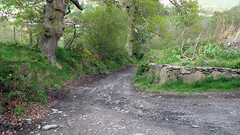
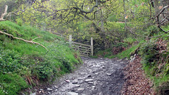
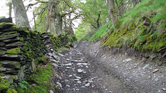
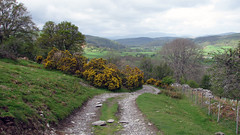
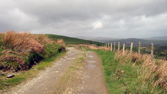
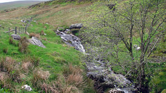
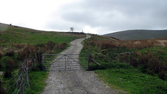
A moorland scenic walk, with great views of the Dee Valley, Llandrillo and the Berwyn Mountains. Starting at the free car park just before the bridge in Llandrillo village. Turn left out of the car park and cross the road, then turn right onto a quiet lane just after the community center, follow the lane uphill, eventually you will go through a gate and onto a rough track. This section of the walk is easy to navigate as its part of the ‘Tegid Way’ with markers showing you this, carry on up the track, your basically walking uphill from the village for 3.8 miles until you summit. At the top is a Cairn, and an interesting plaque ‘Wayfarer’ embedded in the rock just before the Cairn. Follow the same route down. (We did this walk with the aim of making it into a 10 mile horseshoe, by passing the cairn and carrying onto Cadair Bronwen, then walking from there back to Llandrillo – however the weather became really extreme with Bronwen under thick cloud so we back tracked).
Grid Ref: SJ 035 371
Total distance: 12.54 km (7.8 mi)
Total time: 4:20:00
Moving time: 4:00:40
Average speed: 2.89 km/h (1.8 mi/h)
Average moving speed: 3.13 km/h (1.9 mi/h)
Max elevation: 649 m (2130 ft)
Min elevation: 208 m (683 ft)
Elevation gain: 561 m (1842 ft)
Weather: sun and showers am, rain and wind pm.
View Llandrillo Careg Y Caws Monument and Cairn in a larger map
