May 4, 2016 | 5-10 Miles, Conwy
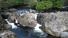
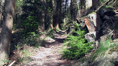
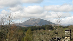
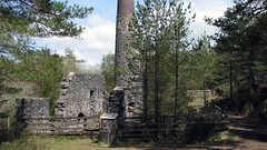
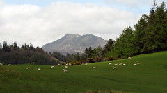
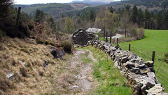
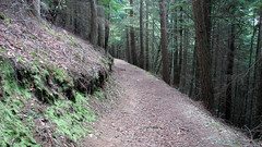
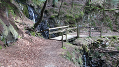
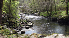
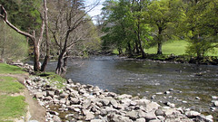
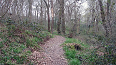
A really nice walk at just over 7 miles. Starting in Betws Y Coed, then walking up though the forest on a fairly steep section, before leveling out. Greats views of Moel Siabod and Snowdonia, at times great 360 panorama vistas. The walk then carries on alongside and in forests before reaching a fascinating old lead mine with chimney still intact. The mine is roughly half way. From there heading back to Betws Y Coed on forest tracks and trails, eventually arriving at the river which you walk along back to the town.
Park and start the Walk anywhere in Betws Y Coed.
Total distance: 7.1 Miles
Total time: 3.51 hrs
Moving time: 3.15 hrs
Average speed: 1.9 mi/h
Max elevation: 928 ft
Min elevation: 75 ft
Download GPX
Apr 15, 2016 | 5-10 Miles, Gwynedd
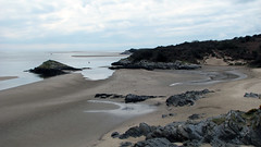
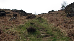
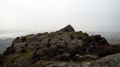
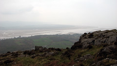
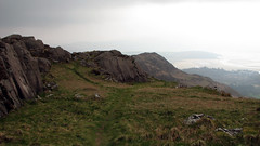
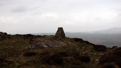
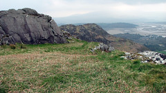
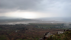
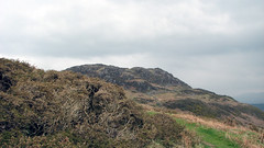
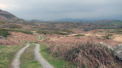
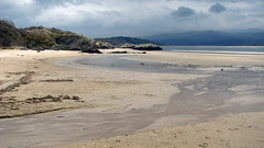
A nice 6.8 mile walk with multiple terrains, and stunning vistas. Starting at the car park at Borth Y Gest (near Porthmadog), then following well defined paths, you travel through woodland, lanes and tracks. Then ascend Moel Y gest, there are 2 peaks here, the furthest having the trig point and also being marked as a Hill Fort on the OS map, both affording stunning views of Snowdonia, the estuary, and the coast, Cricceth Castle is visible to the North. From the peak you travel down until you eventually find yourself on a section of the Wales coastal path, then onto a beach, before the final leg back to the car park. This was a really great walk for views, the ascent of Moel y Gest is steep but well worth it for the 360 views. It was quite overcast for us so the photographs are not so impressive – a walk for a good day owing to the great views.
Grid Ref: N 52.915875 W 4.136570 (where we parked)
Total distance: 6.45 Miles
Total time: 4.48 hrs
Moving time: 4.00 hrs
Average speed: 1.34 mi/h
Max elevation: 1044 ft
Min elevation: 10 ft
Download GPX
